Interactive map shows wildfires burning in Washington, elsewhere in the United States

READ MORE
Washington Smoke Season
Don’t wait for smoky skies to affect your health.
Expand All
It’s wildfire season in WA. When can we expect smoke to arrive west of the Cascades?
Here’s what you need to prepare for poor air quality and smoke this wildfire season
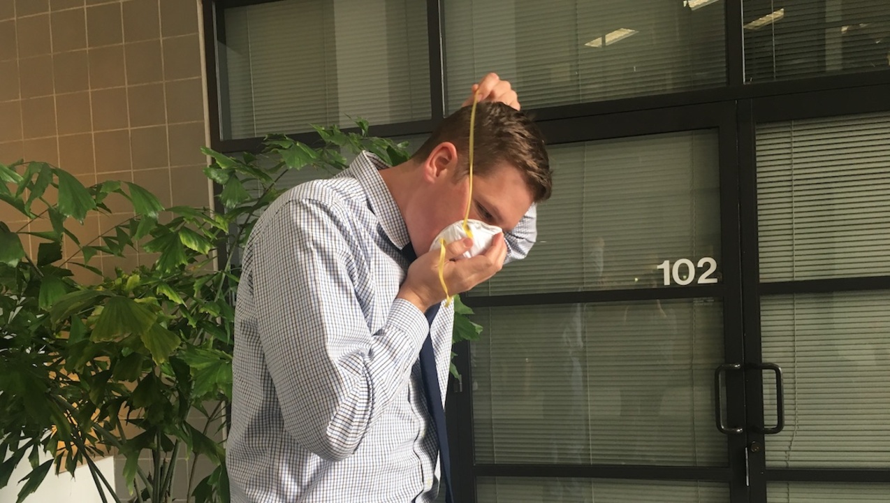
WA smoke season is upon us. Here are some tips for smoke-proofing homes, buying masks
Local governments are preparing for incoming wildfire smoke. Here’s how
Interactive map shows wildfires burning in Washington, elsewhere in the United States
An online map from InciWeb shows wildfires burning across the United States, including in Washington state.
The website includes detailed information about the fires, which can be accessed by clicking on the fire’s icon on the map, switching to “incident table view” or entering information in the search box, including fire name or state.
Information, including fire size, source and links to news articles, is updated regularly.
See the map below:
This story was originally published July 16, 2021 at 10:20 AM.